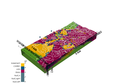
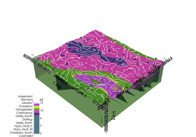
gempy.core.data.GeoModel
- class gempy.core.data.GeoModel(name: str, structural_frame: StructuralFrame, grid: Grid, interpolation_options: InterpolationOptions)[source]
Class representing a geological model.
Examples using
gempy.core.data.GeoModel¶Methods
__init__(name, structural_frame, grid, ...)add_surface_points(X, Y, Z, surface[, nugget])update_transform([auto_anisotropy, ...])Attributes
The geophysics input of the geological model.
input_data_descriptorOptional grid used for interpolation.
interpolation_inputLegacy model (if available).
This is a copy! Returns a OrientationsTable for all orientations across the structural elements
solutionsThis is a copy! Returns a SurfacePointsTable for all surface points across the structural elements
The transformation used in the geological model for input points.
Meta-information about the geological model, like its name, creation and modification dates, and owner.
The structural information of the geological model.
The general grid used in the geological model.
The interpolation options provided by the user.
- geophysics_input: GeophysicsInput = None
The geophysics input of the geological model.
- interpolation_grid: Grid = None
Optional grid used for interpolation. Can be seen as a cache field.
- legacy_model: gpl.Project = None
Legacy model (if available). Allows for backward compatibility.
- __init__(name: str, structural_frame: StructuralFrame, grid: Grid, interpolation_options: InterpolationOptions)[source]
- meta: GeoModelMeta
Meta-information about the geological model, like its name, creation and modification dates, and owner.
- structural_frame: StructuralFrame
The structural information of the geological model.
- interpolation_options: InterpolationOptions
The interpolation options provided by the user.
- transform: Transform = None
The transformation used in the geological model for input points.
- property surface_points
This is a copy! Returns a SurfacePointsTable for all surface points across the structural elements
- property orientations: OrientationsTable
This is a copy! Returns a OrientationsTable for all orientations across the structural elements


